Solutions/Geospatial & structural twins
shippedInfrastructure & structures

Geospatial & structural twins

Bridges, dams, mines, and pipelines are often judged through periodic inspections with long gaps between observations. Drone and satellite surveys show geometry; ground sensors show response. The evidence becomes more useful when both share coordinates and time.

Ground
Strain, tilt, vibration & seismic sensors
Aerial
Drone survey, satellite, RTK GNSS
Platform
InfiIoT Cesium 3D twin + fusion
Outcome
One geo-referenced twin engineers & regulators trust
One accountable stack

We specify the field hardware and the software around the same asset model, with one engineering team responsible for the result.
The hardware, specifiedIndia-first · certified · locally supported
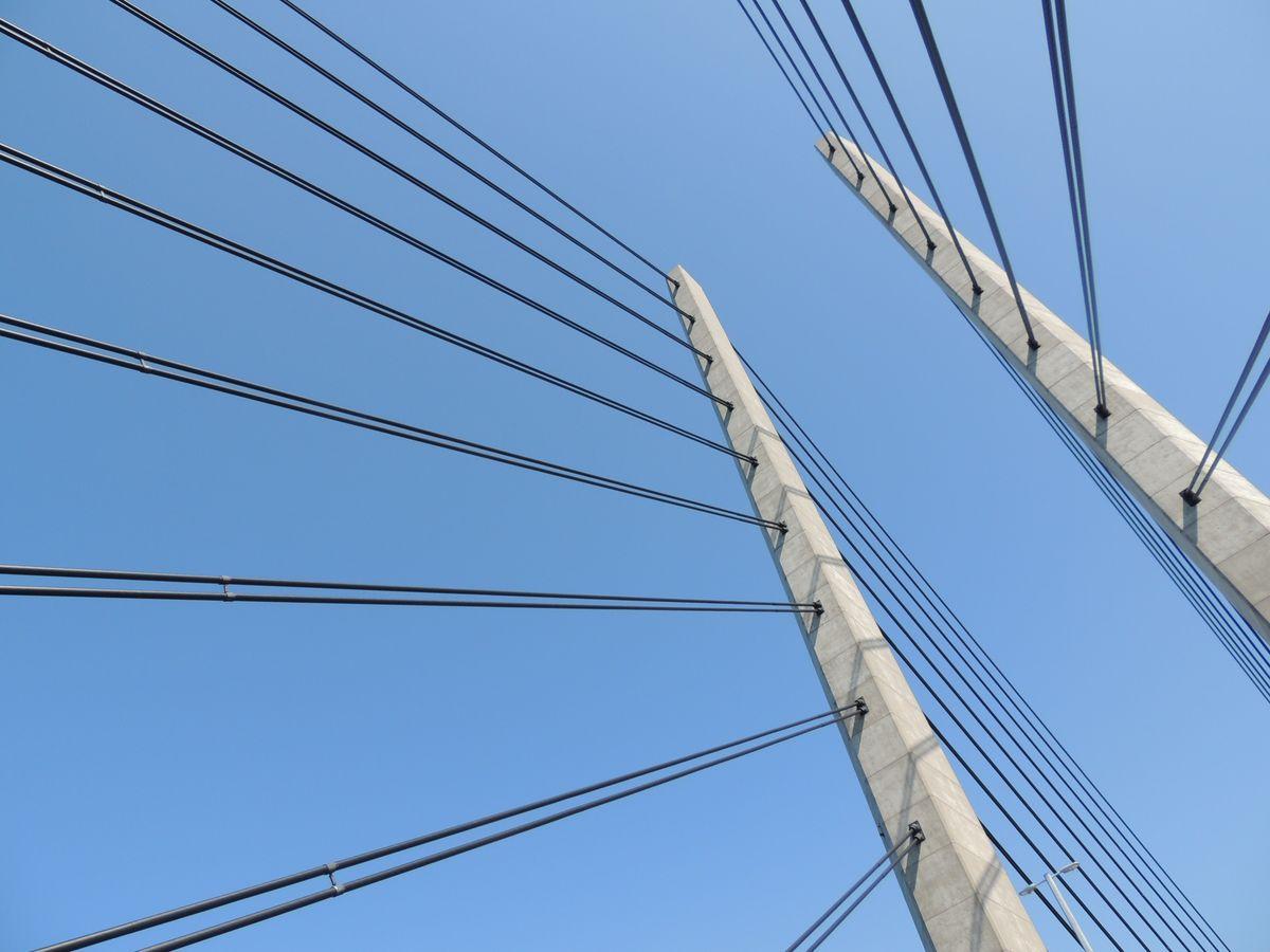
Structural sensor node (strain / tilt / vibration)

Structural sensor node (strain / tilt / vibration)

Measures structural movement under operating loads
MEMS accelerometer, tilt/inclinometer, strain gaugeWireless or RS485, long-life powerSeismic-grade variants
Why thisLocal calibration support is important because civil-asset monitoring programmes commonly run for years.
RTK GNSS displacement unit

RTK GNSS displacement unit

Catches millimetre ground/structure movement
Centimetre-to-mm RTK positioningContinuous or campaign modeCorrection over cellular
Why thisTies every reading to precise coordinates the DEM and drone data share.
Radar / ultrasonic level & piezometer

Radar / ultrasonic level & piezometer

Water and sub-surface pressure truth

Non-contact level, pore-pressure piezometersRegulatory-grade loggingAuto-upload to government portals
Why thisMeets CGWA / CWC reporting obligations with the evidence trail built in.
The InfiIoT software layer

What the platform does with all that hardware data.

3D geo-referenced twin

A Cesium.js/WebGL scene places current sensor state on the surveyed asset between formal inspections.

Remote-sensing fusion

Satellite indices, drone orthomosaics, and DEMs align to the coordinate frame used by ground sensors.

Structural stress simulation

Engineers can run load, flood, or seismic scenarios from the asset's current measured condition.

Threshold & compliance alerts

Movement and pore-pressure thresholds raise graded alerts; regulatory reports generate and upload on schedule.

What the decision maker gets
continuous
vs periodic inspection
mm
movement detected
regulator-ready
evidence trail

Hardware and software, one proposal.

Bring the asset, interfaces, and operating constraint. We will map the likely bill of materials and the first platform workflow.

Connected-product assessment

Bring one product. Leave with a clear next step.

Use 30 minutes to test the fit around one product and one blocked decision. If there is a fit, we will outline the two-week Product Blueprint.

30-minute fit callOne productNo prepared deck